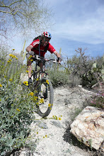
Route
Starts at the Ringtail intersection with Sunrise. Ends at the top as you enter the landing before dropping down the East side. Zoom in on the Map for details.
View Sunrise TT in a larger map
Stats
905 feet of elevation gain, in 2.19 miles, = 7.8 gradient. (Thanks to YT for the data and getting this started by posting it on the forum.)

Submission
Enter your times in the comments section below and I'll post them in order up top. Include your Name, MTBR name, and date of your ride.
Stay updated on new times
If you want to get the latest updates, subscribe to the comment notifications.